
Engineering Surveying
Engineering surveying includes the measurement and processing of spatial data required for the planning, construction, and operation of infrastructure and engineering projects. Services include mapping, terrain modeling, construction staking, control measurements, deformation monitoring, and surveying work for industrial sites, airports, and watercourses.
- Surveying services for project preparation (feasibility studies, zoning documentation, construction permits)
- Creation of purpose-built mapping for design projects
- Development of 3D digital terrain models
- Cross and longitudinal terrain profiles, earthwork volume calculations
- Design of construction staking networks
- Land acquisition documentation
- Surveying services during construction
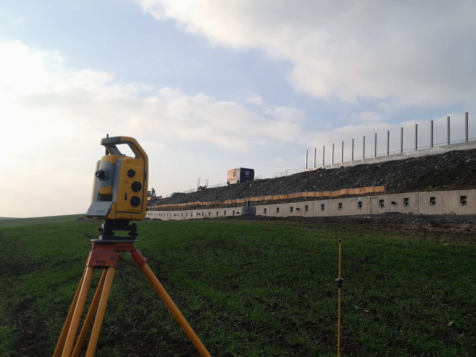
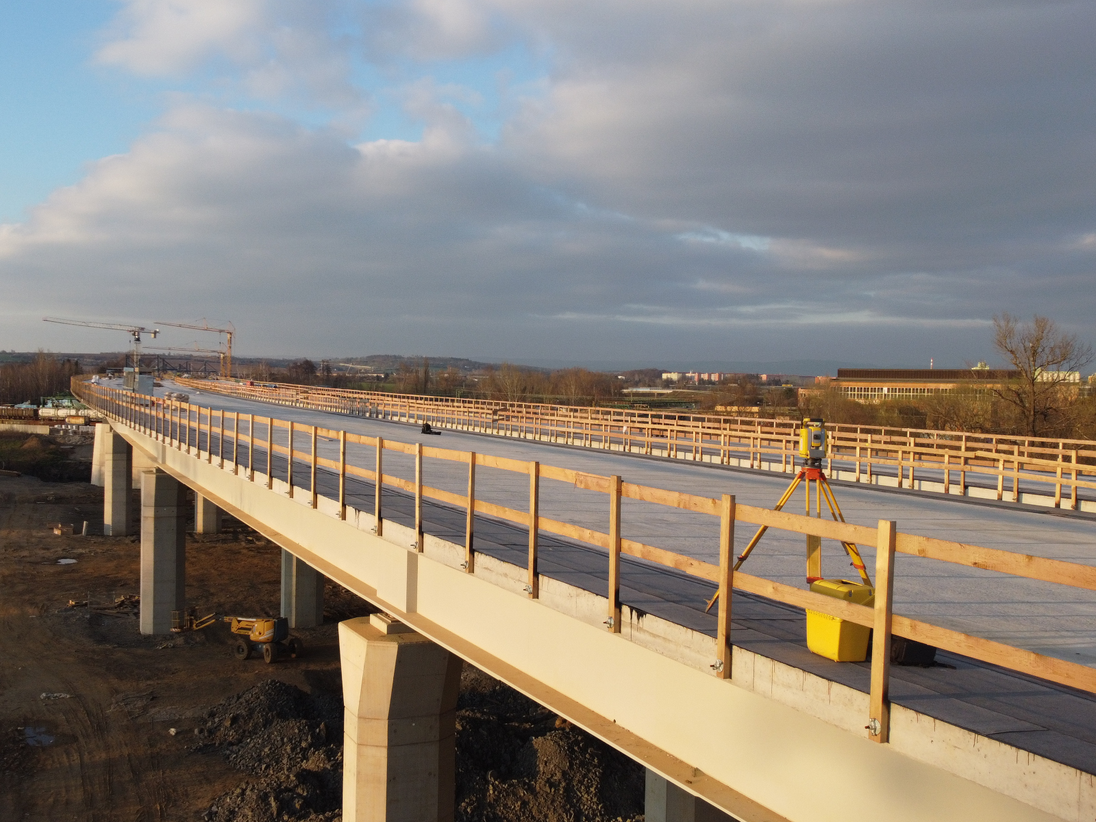
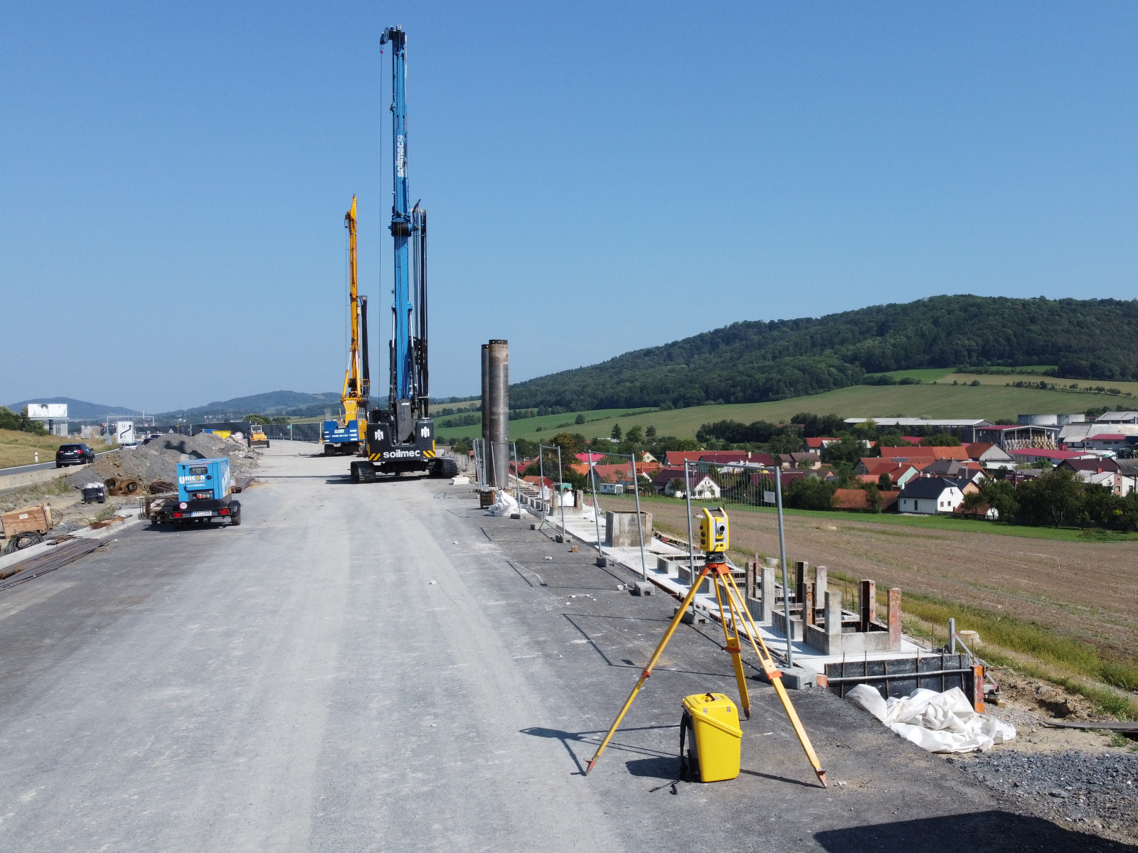
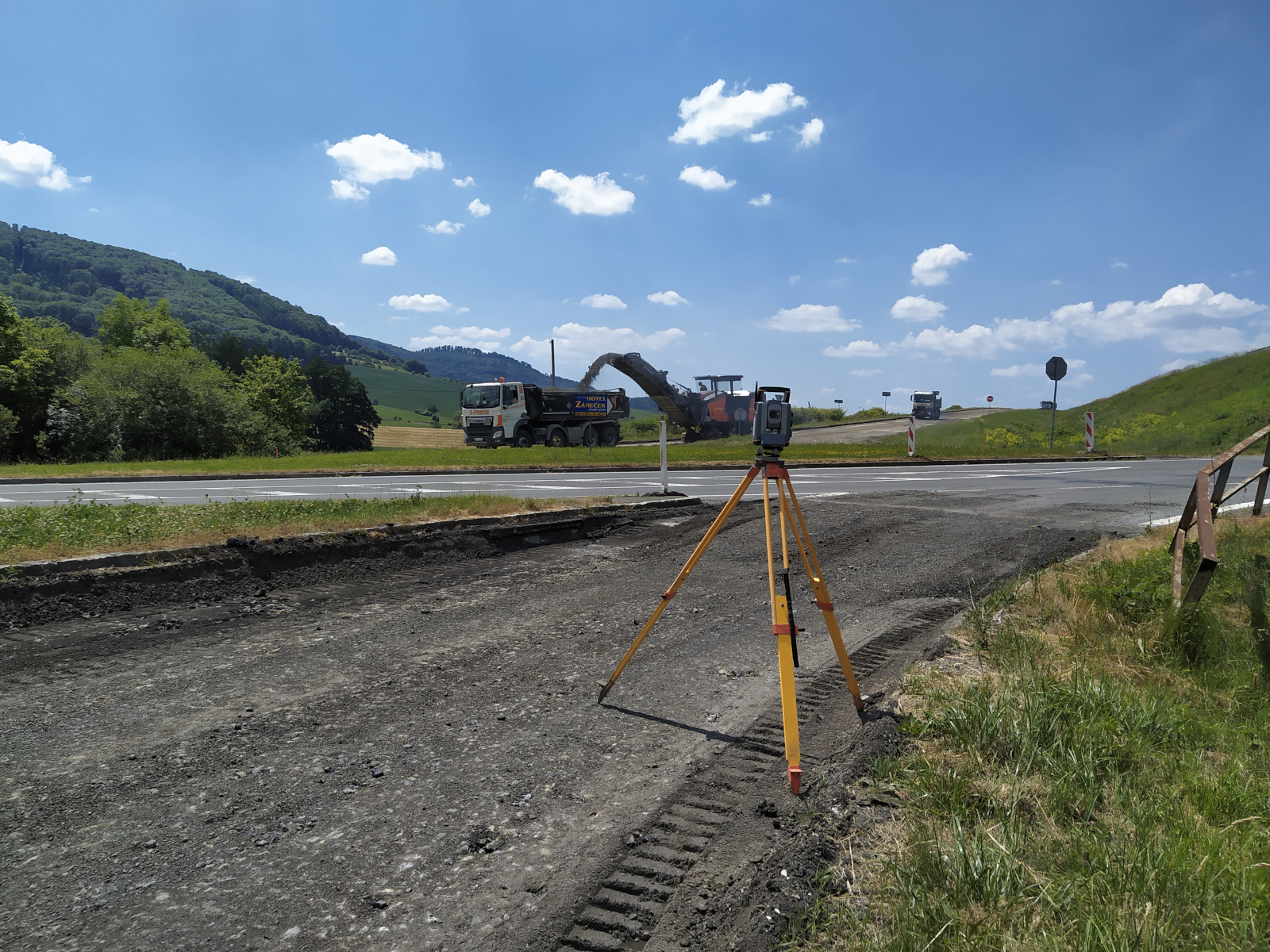
- Construction staking
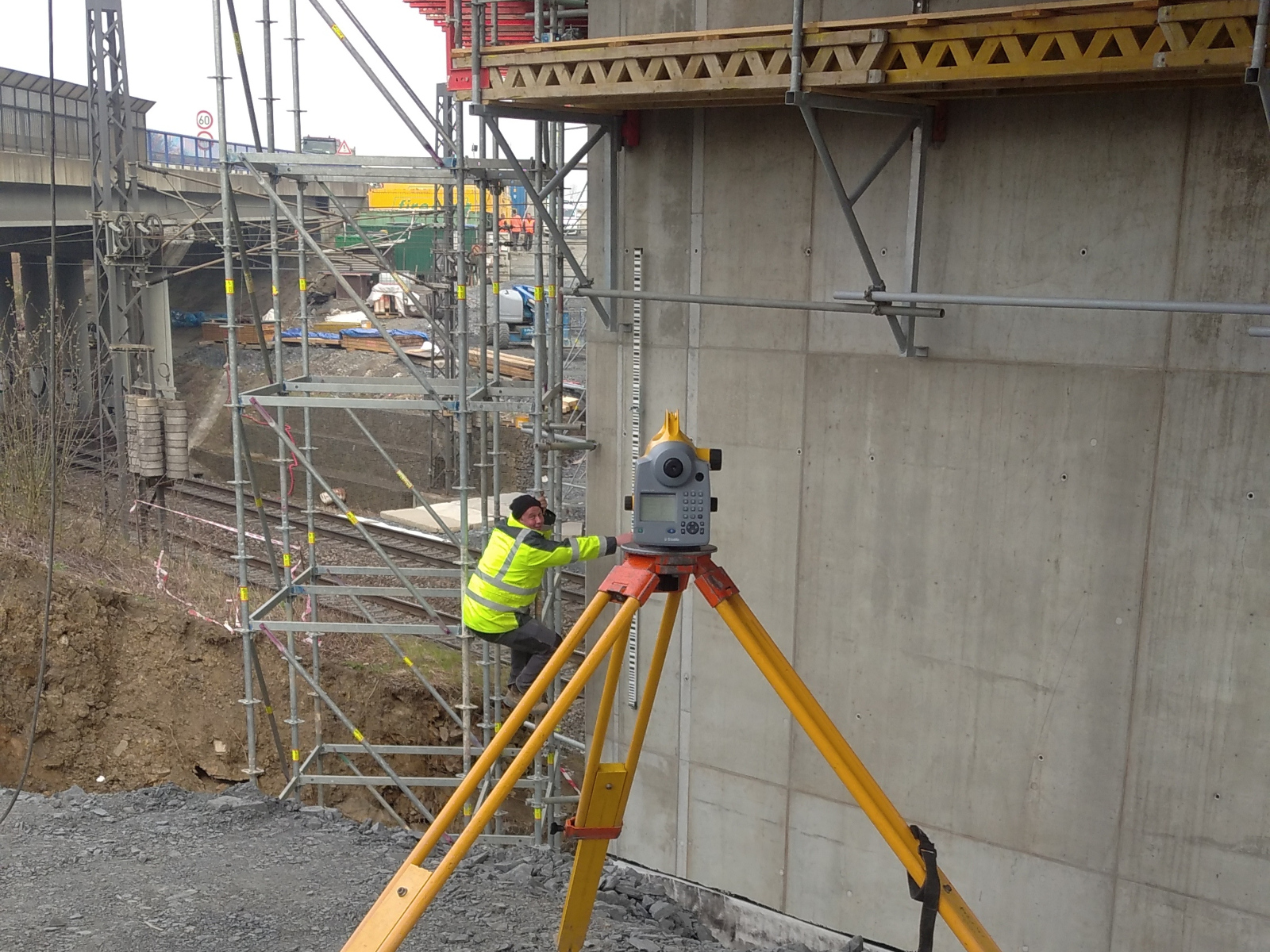
- Monitoring of displacements and deformations
- Control measurements and verification of geometric parameters
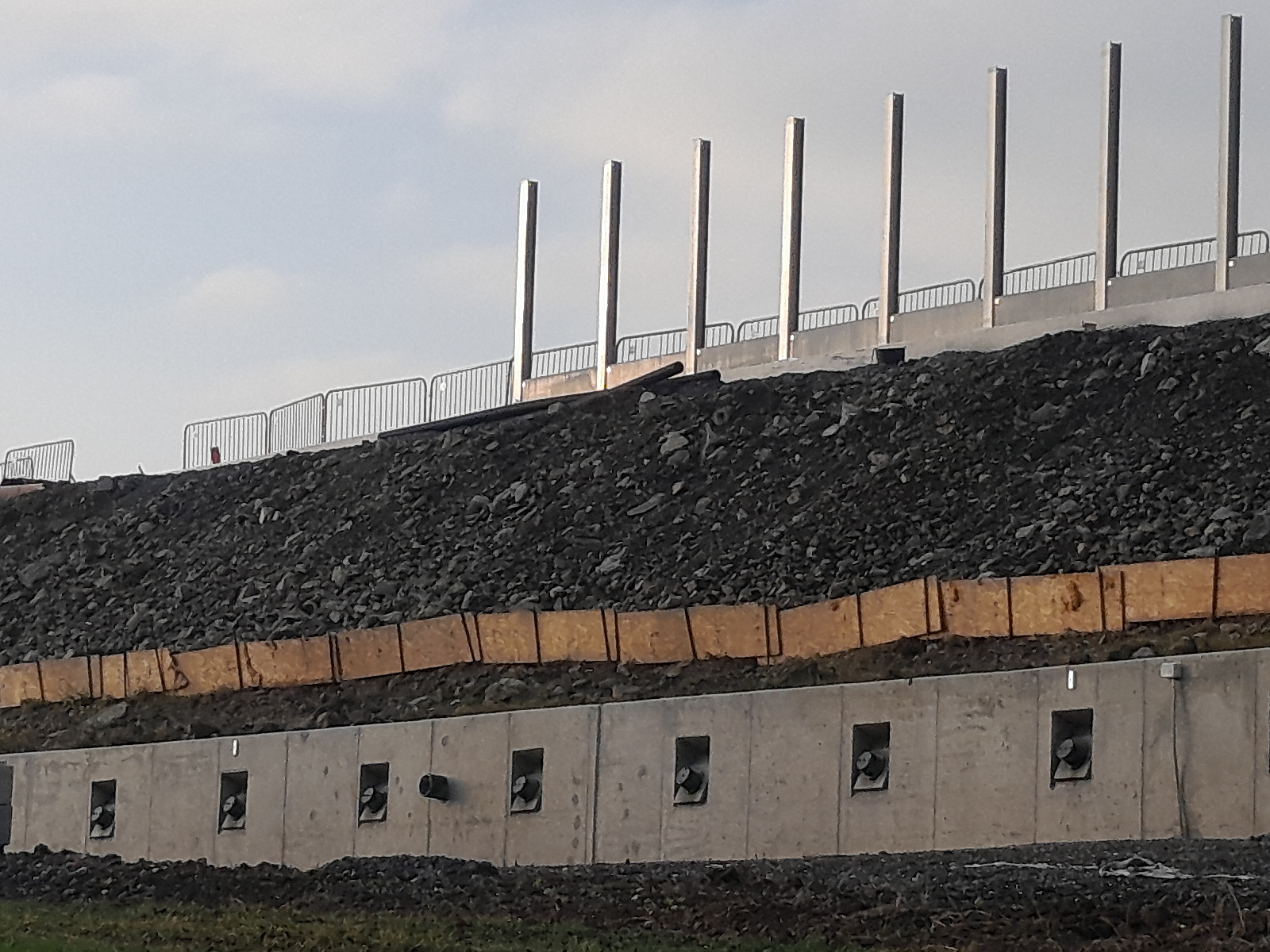
- As-built surveying and documentation
- Surveying services for operational needs
- Industrial facility base maps
- Airport base maps
- Surveying works on watercourses
- Measurement of cross, valley, and longitudinal profiles
- Surveying of structures on watercourses

Mgr. Ing. Žaneta Šmídová
Phone
(+420) 777 626 044
Email
smidova@geosop.cz