




Precision that builds strong foundations for every project.

Engineering surveying and geospatial data backed by years of experience.

About Us

From the very beginning, we have built our work on expertise, reliability, and a personal approach to every project.

35

Years
of Experience

999+

Projects

GEOS SILESIA s.r.o.

Our company is a leading surveying and geodesy firm operating across the entire Czech Republic, with a strong focus on Moravia and Silesia.

The company was established in 2010 through the gradual transformation of Ing. Ivo Čevora – Geos Opava (founded in 1991).

We provide comprehensive services in engineering surveying, real estate cadastre, complex land consolidation, and the development of software solutions for geospatial data.

Our key partners include the Directorate of Roads and Highways of the Czech Republic, the Railway Administration, the State Land Office, contractors of major infrastructure projects, and engineering design companies.

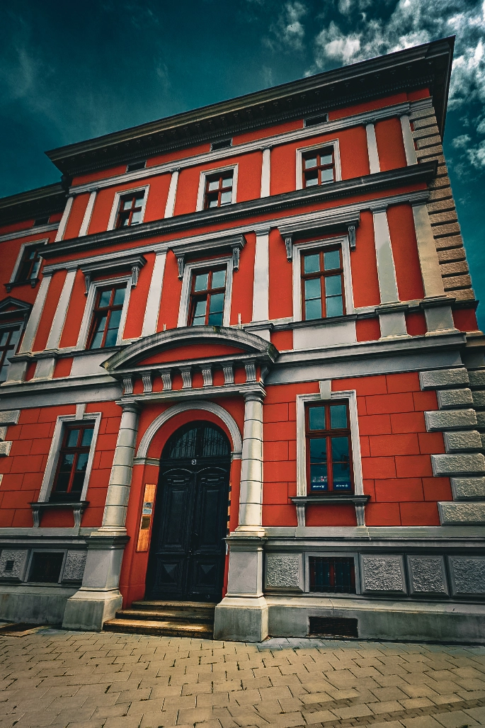
The company operates from a modern facility that provides our team with excellent working conditions and the technological background required for precise and reliable surveying services.

Služby

Nabízíme řešení přizpůsobená vašim potřebám

Real Estate Cadastre

Real estate cadastre services include surveying and professional activities related to the registration and management of land and property data. These services cover boundary demarcation, preparation of geometric plans, and professional consulting related to the cadastral register.

01

Land Consolidation

Land consolidation focuses on improving the spatial arrangement and use of land to enhance accessibility, efficiency, and ownership relationships. The process includes boundary demarcation as well as simple and complex land consolidation projects that optimize landscape structure and agricultural land management.

02

Digital Technical Mapping

Digital technical maps are precise electronic mapping datasets representing technical infrastructure within a given area, including utility networks, transport infrastructure, and buildings. They serve as essential tools for planning construction, infrastructure management, and coordination of engineering works.

03

Asset Documentation, BIM & GIS

Asset documentation, BIM and GIS services include systematic surveying, documentation, and digital processing of data related to buildings, linear infrastructure, and traffic signage. The results are accurate datasets such as 3D and BIM models, as well as detailed spatial data about structures and interiors for effective asset management, maintenance, and planning.

04

Engineering Surveying

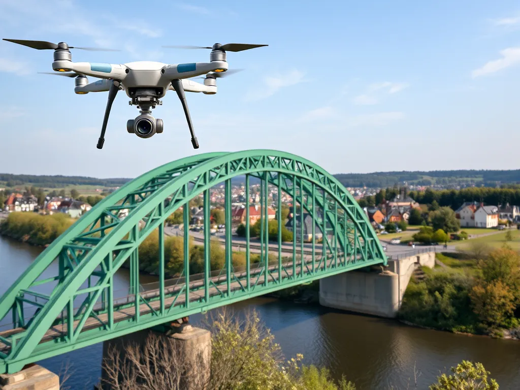
Engineering surveying includes the measurement and processing of spatial data required for the planning, construction, and operation of infrastructure and engineering projects. Services include mapping, terrain modeling, construction staking, control measurements, deformation monitoring, and surveying work for industrial sites, airports, and watercourses.

05

Industrial Surveying

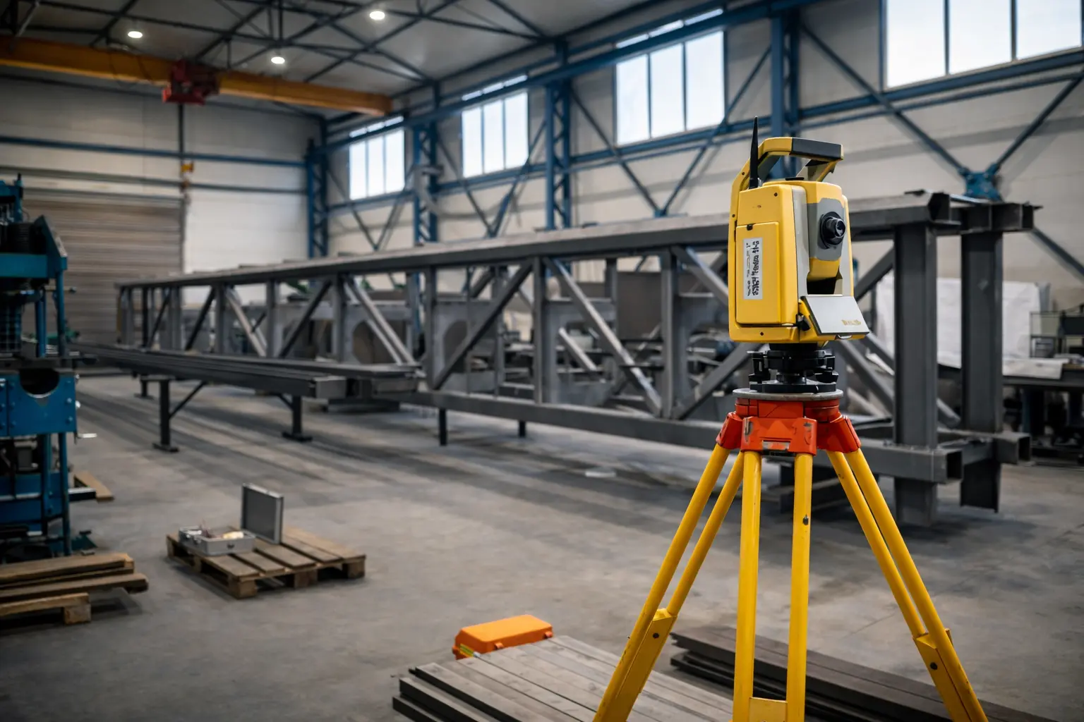
Industrial surveying focuses on high-precision measurements of structures and technological equipment within industrial facilities. It includes deformation monitoring, determination of spatial relationships of crane tracks, and verification of geometric parameters of structures and technological systems.

06

Railway Infrastructure

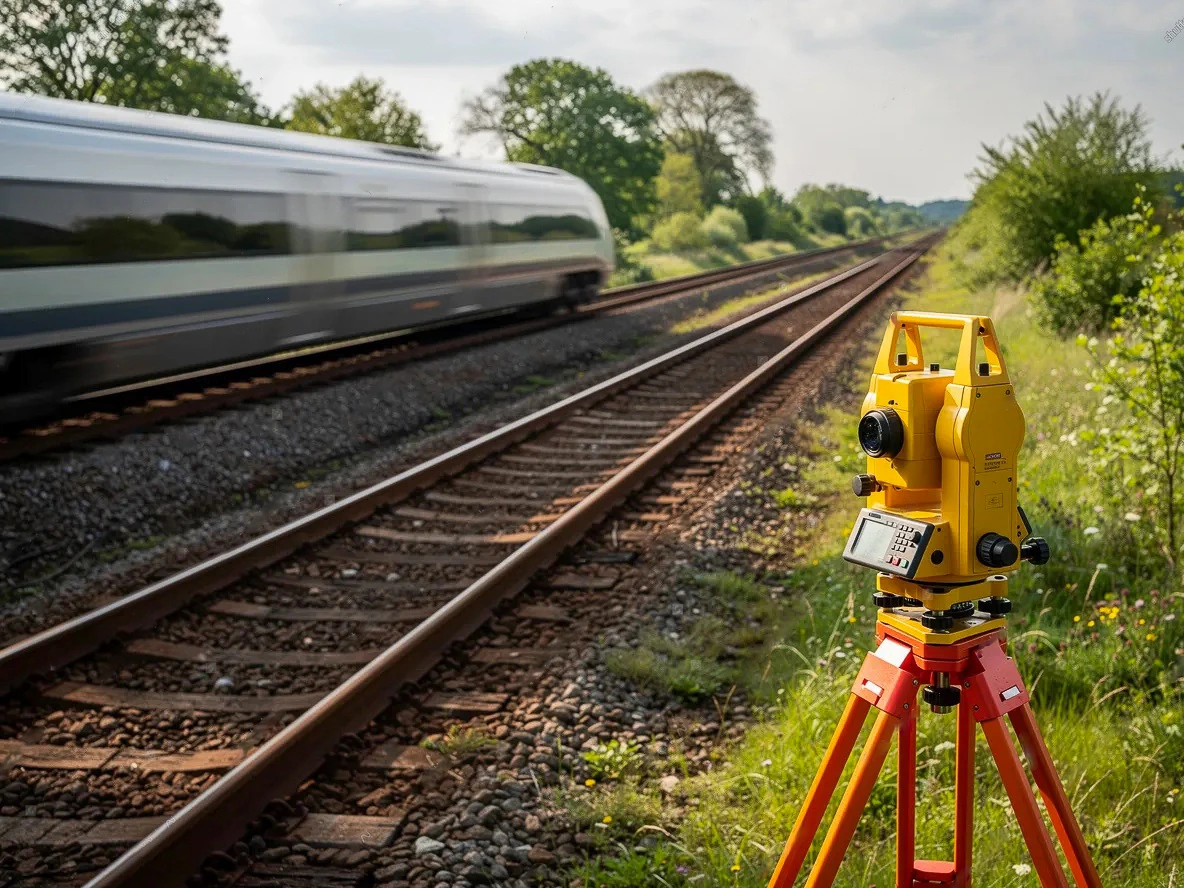
Surveying services for railway infrastructure include measurement and processing of spatial data required for the design, construction, and management of railway systems. This includes track measurements, mapping documentation, as-built documentation of railway structures, and data management for the railway cadastre.

07

Road Infrastructure

Surveying services for road infrastructure projects include professional activities related to the preparation, construction, and quality control of road and highway construction, including services of a certified surveying engineer. Services include control measurements, deformation monitoring, and as-built documentation.

08

Our Team

Our success is built on a well-structured organization and a strong team of experienced professionals.

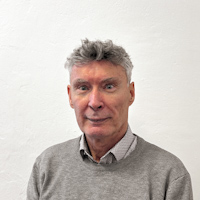
Ing. Michal Jašek

Ing. Michal Jašek

Director & Managing Director

(+420) 604 440 250

jasek@geosop.cz

Ing. Ivo Čevora

Ing. Ivo Čevora

Managing Director

(+420) 602 741 240

cevora@geosop.cz

Ondřej Fajkus

Ondřej Fajkus

Head of Real Estate Cadastre & Land Consolidation Department

(+420) 725 304 857

fajkus@geosop.cz

Mgr. Ing. Žaneta Šmídová

Mgr. Ing. Žaneta Šmídová

Head of Surveying for Transport & Engineering Projects

(+420) 777 626 044

smidova@geosop.cz

Ing. Filip Paruza

Ing. Filip Paruza

Head of Industrial Surveying, 3D Technologies & GIS

(+420) 731 608 057

paruza@geosop.cz

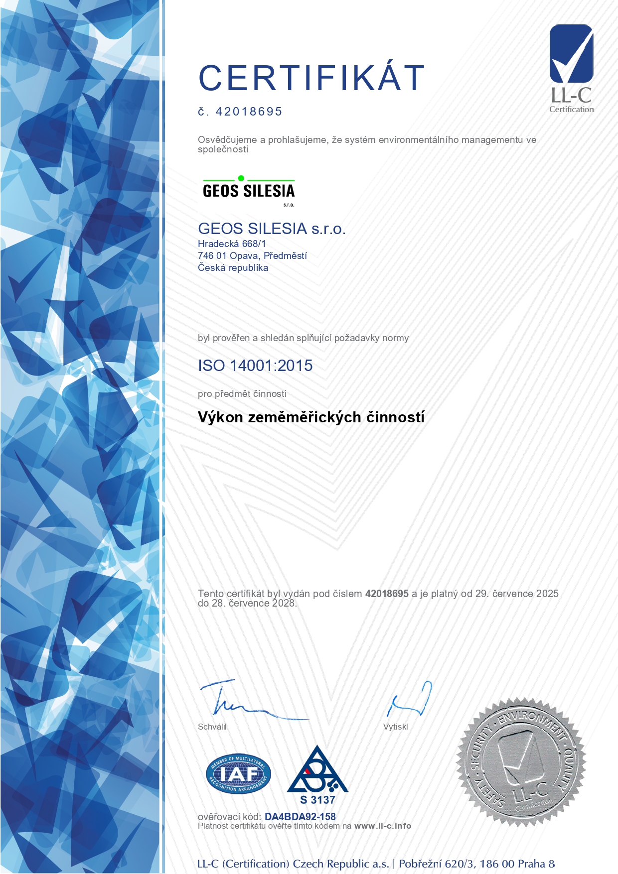
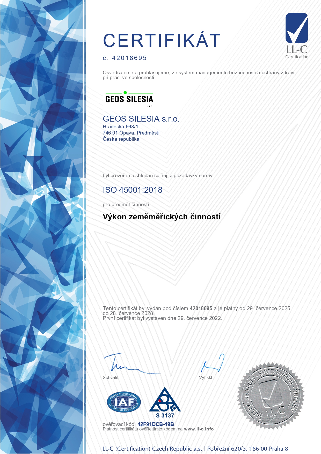
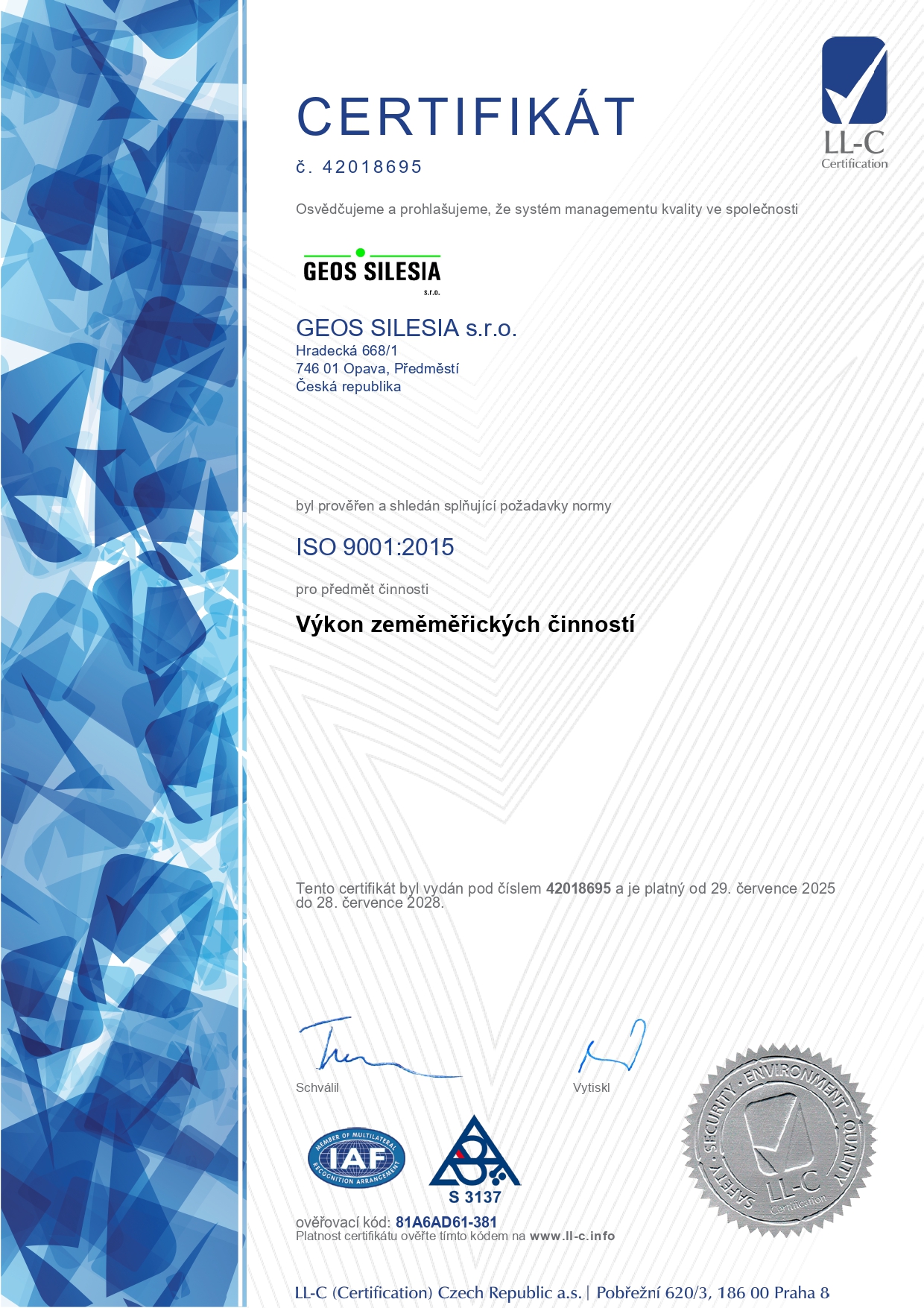
Certificates

Our quality, environmental, and occupational safety management systems meet international standards.

Contact

Feel free to get in touch – we will be happy to assist you.

Head Office

Hradecká 668/1, Opava 1, 746 01

Email

sekretariat@geosop.cz

Phone

(+420) 553 624 939

Office Hours

Po - Pá: 7:00 - 16:00

Send Us a Message

Do you have any questions? We will be happy to answer them. Please fill in your contact details carefully.

Loading
Your message has been sent. Thank you!